A University of Oklahoma research study, led by Professor Xiangming Xiao, reveals the divergent trends of open surface water bodies in the contiguous United States from 1984 to 2016, specifically, a decreasing trend in the water-poor states and an increasing trend in the water-rich states. Surface water resources are critical for public water supply, industry, agriculture, biodiversity and ecosystem services.
“The data, information and knowledge on long-term trends of surface water bodies across the CONUS at high spatial resolution are valuable for planning and management of surface water resources, however, they are not widely available yet,” said Xiao, professor of ecology and remote sensing in the Department of Microbiology and Plant Biology, OU College of Arts and Sciences.
Xiao and his team analyzed approximately 370,000 Landsat images and generated annual surface water body frequency maps for 1984 to 2016 at 30-m spatial resolution. Zhenhua Zhou, first author on the study and one of Xiao’s graduate students, says, “Google’s Earth Engine cloud computing platform, freely available Landsat image data, together with the novel and robust mapping algorithms derived from years of remote sensing studies in the past allowed OU researchers to carry out the continental-scale image data analysis.”
The spatial-temporal dynamics and trends of year-long water bodies in the CONUS during 1984 to 2016 were quantified by states and watersheds. During that period, 10 water-poor states in the southwest and northwest United States had statistically significant decreasing trends in surface water area, but 20 water-rich states in the southeast United States and the northern Great Plains had statistically significant increasing trends. Climate was the primary driving factor for such diverse trends in year-long surface water area since 1984.
Read more at University of Oklahoma
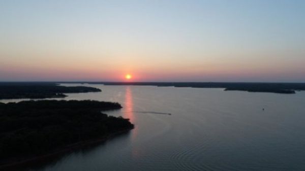
Image: This is the Lake Thunderbird reservoir in Norman, Oklahoma. (Credit: University of Oklahoma)