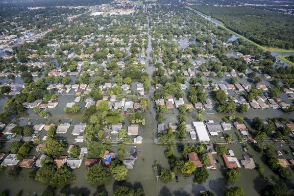
A Dutch-Texan team found that most Houston-area drowning deaths from Hurricane Harvey occurred outside the zones designated by government as being at higher risk of flooding: the 100- and 500-year floodplains. Harvey, one of the costliest storms in US history, hit southeast Texas on 25 August 2017 causing unprecedented flooding and killing dozens. Researchers at Delft University of Technology in the Netherlands and Rice University in Texas published their results today in the European Geosciences Union journal Natural Hazards and Earth System Sciences.
“It was surprising to me that so many fatalities occurred outside the flood zones,” says Sebastiaan Jonkman, a professor at Delft’s Hydraulic Engineering Department who led the new study.
Drowning caused 80% of Harvey deaths, and the research showed that only 22% of fatalities in Houston’s 4,600-square-kilometre district, Harris County, occurred within the 100-year floodplain, a mapped area that is used as the main indicator of flood risk in the US.
Flood zones, or floodplains, are low-lying areas surrounding rivers and streams that are subject to flooding. To assess flood risk for insurance purposes and to set development standards, US authorities outline floodplains for 100- and 500-year floods. These events have a 1% probability (100-year flood) and a 0.2% probability (500-year) of occurring in any given year.
Read more at European Geosciences Union
Image: An aerial view shows extensive flooding from Harvey in a residential area in southeast Texas, Aug. 31, 2017. (Credit: Air National Guard photo by Staff Sgt. Daniel J. Martinez)


