There are more than 1 million river basins carved into the topography of the United States, each collecting rainwater to feed the rivers that cut through them. Some basins are as small as individual streams, while others span nearly half the continent, encompassing, for instance, the whole of the Mississippi river network.
River basins also vary in shape, which, as MIT scientists now report, is heavily influenced by the climate in which they form. The team found that in dry regions of the country, river basins take on a long and thin contour, regardless of their size. In more humid environments, river basins vary: Larger basins, on the scale of hundreds of kilometers, are long and thin, while smaller basins, spanning a few kilometers, are noticeably short and squat.
The difference, they found, boils down to the local availability of groundwater. In general, river basins are shaped by rainfall, which erodes the land as it drains down into a river or stream. In humid environments, a large fraction of rainfall seeps into the Earth, creating a water table, or a local reservoir of groundwater. When that groundwater seeps back out, it can also cut into a basin, further eroding and shifting its shape.
The researchers found that smaller basins that are formed in humid climates are heavily shaped by the local groundwater, which acts to carve out shorter, wider basins. For much larger basins that cover a more expansive geographic area, the availability of groundwater may be less consistent, and therefore plays less of a role in a basin’s shape.
Read more at Massachusetts Institute of Technology
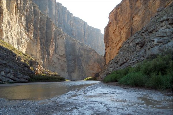
Image: Big Bend National Park Texas. CREDIT: NPS Photo / Ann Wildermuth


