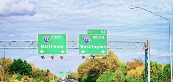
A corps of volunteers are setting out this week with an important task in front of them: Collect real-time data about the hottest places in Baltimore and Washington, D.C. It's part of a NOAA-funded project to map places where people are most at risk during extreme heat waves.
Using specially designed thermal sensors mounted on their own cars, these citizen scientists are driving prescribed routes through each city recording temperatures, time and location second by second.
Then, scientists from Portland State University and the Science Museum of Virginia will transform this data into detailed maps of both cities’ urban heat islandsoffsite link — areas that trap heat and can run 10 to 20 degrees hotter than in other areas of the city.
“By measuring temperatures in tens of thousands of locations throughout a city, we can map what areas are hottest, and the reason behind those patterns,” explained Vivek Shandas, a professor at Portland State University and co-leader of the project. “It’s a very simple system that any city can use to describe the urban heat island effect, which can help to inform planning strategies to cool the city, especially in areas where the most vulnerable populations live.”
Continue reading at NOAA.
Image via NOAA.


