This was achieved by using machine learning methods that combine satellite imagery and field data. The study shows that it is possible to model tree species distributions at a spatial resolution that is fine enough to facilitate the practical management of forest resources.
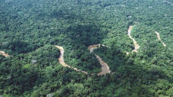
Amazonia is the largest tropical forest in the world. It is a highly diverse and complex ecosystem that probably hosts more than 15,000 species of trees. A single hectare can contain more than 300 tree species, which is more than in all of Europe.
As the canopy species are difficult to reach and identify, species inventories are slow, laborious, and expensive. Therefore, field inventories rarely cover large enough areas to provide relevant information for conservation planning and forest resource management. The need for informed planning is urgent, because large areas are currently being deforested due to advancing agriculture, mining, road building, and other human activities.
Continue reading at University of Turku
Image via Hanna Tuomisto