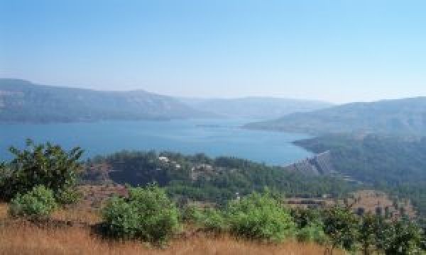
Researchers in India used global positioning system (GPS) observations along with satellite-based radar data called InSAR to track the movement—particularly the uplift and subsidence—of rock layers around the reservoirs. The teams measured crustal deformation around the Koyna and Warna reservoirs in western India, as well as the Tehri, Ukai and Dharoi reservoirs in India.
The studies are included in the journal’s special issue on reservoir-triggered seismicity around the globe, 51 years after a magnitude 6.3 earthquake in the Koyna-Warna region of India became the largest seismic event ever attributed to reservoir filling. Occurring in a region where there had been no previous record of significant seismicity, the Koyna earthquake caused 180 deaths and more than 2000 injuries, and thousands of smaller earthquakes still impact the region today.
Reservoir-triggered seismicity is thought to be the result of shifting water levels in the reservoirs impounded behind the dams, which may increase stresses on faults by altering the stress and pore pressure in rocks along the fault. Reservoir filling accounts for 23 percent of the total number of earthquakes caused by human activity, according to the Human-Induced Earthquake Database.
Continue reading at Seismological Society of America
Image via Vineet Gahalaut, National Center for Seismology in India


