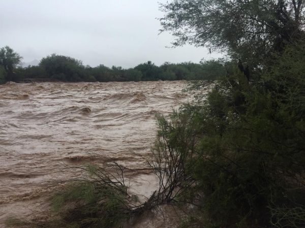
U.S. Geological Survey field crews are preparing to measure potential flooding across Arizona as remnants of Hurricane Rosa move across the state.
The National Weather Service has issued a flash flood watch for central and western Arizona through 5 a.m. on Wednesday.
USGS real-time maps of flood and high flow conditions for Arizona may be accessed online.
If flooding occurs, USGS crews will go out in the field to measure floodwaters and verify streamgage operations. This information is critical for resource managers and emergency responders to help protect life and property. These data are used by the National Weather Service to develop flood forecasts, the U.S. Army Corps of Engineers to manage flood control, county flood control districts, and other local agencies in their flood response activities.
Continue reading at USGS.
Image via USGS.