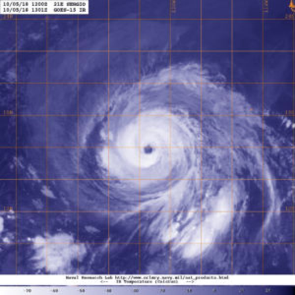
Hurricane Sergio continued to look impressive on satellite imagery when NOAA’s GOES-West satellite viewed the storm in infrared light.
NOAA’s GOES-West satellite sits at a fixed position in orbit and covers the western U.S. and the Eastern and Central Pacific Ocean. GOES satellites circle the Earth in a geosynchronous orbit, which means they orbit the equatorial plane of the Earth at a speed matching the Earth’s rotation. This allows them to hover continuously over one position on the surface. NOAA’s GOES-West satellite provided a night-time view of powerful Hurricane Sergio on Oct. 5 at 6:01 a.m. PDT (9:01 a.m. EDT/1301 UTC) in the Eastern Pacific Ocean. The imagery showed that Sergio had a clear eye with powerful thunderstorms circling the center.
Read more at NASA / Goddard Space Flight Center
Image: NOAA’s GOES-West satellite provided a night-time view of powerful Hurricane Sergio on Oct. 5 at 6:01 a.m. PDT (9:01 a.m. EDT/1301 UTC) in the Eastern Pacific Ocean. Sergio had a clear eye with powerful thunderstorms circling the center. CREDIT: NOAA / NRL


