The satellite is measuring the height of sea ice to within an inch, tracing the terrain of previously unmapped Antarctic valleys, surveying remote ice sheets, and peering through forest canopies and shallow coastal waters. With each pass of the ICESat-2 satellite, the mission is adding to datasets tracking Earth’s rapidly changing ice. Researchers are ready to use the information to study sea level rise resulting from melting ice sheets and glaciers, and to improve sea ice and climate forecasts.
“ICESat-2 is going to be a fantastic tool for research and discovery, both for cryospheric sciences and other disciplines,” said Tom Neumann, ICESat-2 project scientist at NASA’s Goddard Space Flight Center in Greenbelt, Maryland.
Neumann and others with ICESat-2’s science team shared the first look at the satellite’s findings at the American Geophysical Union’s annual meeting on Tuesday in Washington, D.C.
In topographic maps of Transantarctic Mountains, which divide East and West Antarctica, there are places where other satellites just can’t see. Some instruments don’t orbit that far south, others only pick up large features or the highest points and so miss minor peaks and valleys. With an early pass of ICESat-2, scientists started to fill in those details.
“It’s spectacular terrain,” said Benjamin Smith, a glaciologist with the University of Washington, Seattle, and member of the ICESat-2 science team. “We’re able to measure slopes that are steeper than 45 degrees, and maybe even more, all through this mountain range.”
Continue reading at NASA
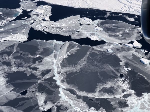
Image via NASA