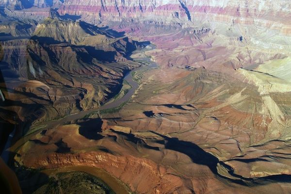
From the air, the last gasp of the Colorado River is sudden and dramatic. The pale green river flows smack into the Morelos Dam on the U.S.-Mexico border, and virtually all of it is immediately diverted into a large irrigation canal that waters a mosaic of hundreds of fields — alfalfa, asparagus, lettuce, and other vegetables, their vivid green color clashing against the sere desert. The slender thread of water that remains in the Colorado’s channel continues to flow south, but is soon swallowed up by a sea of sand, far short of its delta, which lies 100 miles farther on.
The Colorado River once surged through the delta during high flows, carrying so much water at times that shallow draft steamboats chugged hundreds of miles up the river into the U.S. with loads of freight. The water in the delta nourished a vast fertile landscape, a fitting end to a river known as the Nile of North America.
“The river was everywhere and nowhere,” the naturalist Aldo Leopold wrote during a 1922 canoe trip to the delta, describing the waterway as it ebbed, flowed, braided, and stalled into pools, nourishing a rich and diverse ecosystem of “a hundred green lagoons,” a “milk and honey wilderness” with thick stands of cottonwoods and willows that provided habitat for hundreds of species of birds. The delta’s marshes, mudflats, and white sand beaches were home to clapper rails, bitterns, mallards, teal, and clouds of egrets.
Bobcats, puma, deer, and wild boar wandered the delta’s forests. Leopold was searching for the jaguar that roamed there, but didn’t see any.
Read more at Yale Environment 360
Photo Credit: werner22brigitte via Pixabay


