Understanding the ecology and distributions of species in Amazonia is hampered by lack of information about environmental conditions, such as soils. Plant occurrence data are typically more abundant than soil samples in poorly known areas, and researchers from Finland and Brazil have now developed a method that uses both plant and soil data to produce a map of soil properties.
Amazonia is a vast rainforest area that is both megadiverse and poorly known. Field measurements of environmental factors, such as soils, are few and far between, so maps depicting habitat characteristics that are relevant for plants and animals suffer from low accuracy.
To overcome this problem, researchers from the University of Turku in Finland and the National Institute of Amazonian Research (INPA) and the Federal University of Alagoas (UFAL) in Brazil decided to take advantage of plant occurrence data in addition to soil data.
Read more at University of Turku
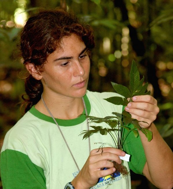
Image: This is Gabriela Zuquim identifying a fern in Amazonian rainforest. (Credit: Ricardo Braga Neto)