The recipe for the best prediction possible involves a special combination of data and timing.
As we move closer to the June 1 start of the Atlantic hurricane season, you might start seeing predictions for how busy the season might be. At NOAA, we issue the U.S.government’s official seasonal outlook in late May each year.
Delivering the government’s preseason outlook close to June 1 ensures that we use the most up-to-date data and computer model predictions to inform our analyses. By doing so, we are able to factor in the latest observations and most current predictions of major climate phenomenon that tend to fuel or suppress hurricanes, such as the El Nino/La Nina cycle, the Atlantic Multi-Decadal Oscillation, Atlantic sea surface temperatures and the West African monsoon. It gives emergency managers and the public timely information to prepare for the hurricane season.
Continue reading at NOAA.
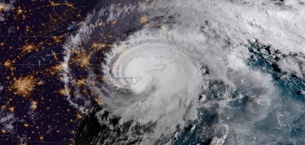
Image via NOAA.


