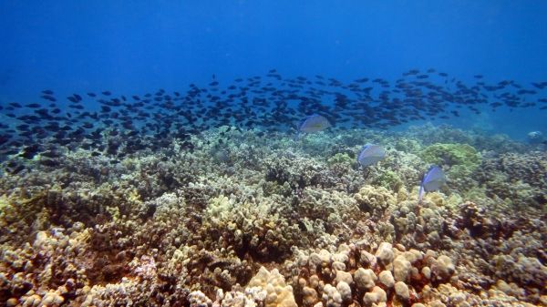
Our scientists and managers depend on research surveys to monitor the status and trends of the coral reef ecosystems across the Hawaiian Archipelago over time. Coral reefs around the globe, including Hawaiʻi, are threatened by climate change, disease, land-based sources of pollution, and unsustainable fishing practices.
During expeditions this spring and summer, teams of scientific divers from NOAA’s Pacific Reef Assessment and Monitoring Program will assess reef fish and corals in the context of changing environmental conditions. They will collect images of the ocean floor to create 3D models of the reefs. The abundance and distribution of reef fish and coral reef organisms are used to characterize the conditions and integrity of our coral reef ecosystems. Over time, we can see how they have changed—an important part of managing and conserving reef-associated life in the region.
This expedition marks the 20th anniversary of the Pacific Reef Assessment and Monitoring Program’s inception in 2000, and will be conducted using the NOAA Ships Oscar Elton Sette and Rainier. We will add our research this season to collections from baseline monitoring surveys across the Pacific and in Hawaiʻi in 2000, 2001, 2002, 2003, 2004, 2005, 2006, 2008, 2010, 2013, and 2016.
The Sette will survey the main Hawaiian Islands: Kauaʻi, Niʻihau, Maui, Lānaʻi, Molokaʻi, Kahoʻolawe, Oʻahu, and the island of Hawaiʻi. The Rainier will survey portions of the Papahānaumokuākea Marine National Monument in the remote Northwestern Hawaiian Islands: French Frigate Shoals, Lisianski/Neva Shoals, Pearl and Hermes Atoll, and Kure Atoll. At each site, the ships will deploy small boats to reach study areas, including locations along the leeward and windward exposures, near the channels between islands, and in forereefs, backreefs, and lagoons.
Continue reading at NOAA Fisheries.
Image via NOAA Fisheries.


