The 2019 Atlantic hurricane season starts June 1, and the U.S. Geological Survey is prepared to provide science that can help guide efforts to protect lives and property if a major storm makes landfall this season.
This year is projected to have a 40 percent chance of being a near-normal season and a 30 percent chance of being above normal, according to the National Oceanic and Atmospheric Administration Climate Prediction Center’s 2019 hurricane season forecast. An average hurricane season produces 12 named storms with winds of 39 miles per hour or higher, including six hurricanes and three major hurricanes of Category 3, 4 or 5. For 2019, the NOAA forecast calls for nine to 15 named storms, including four to eight hurricanes and two to four major hurricanes.
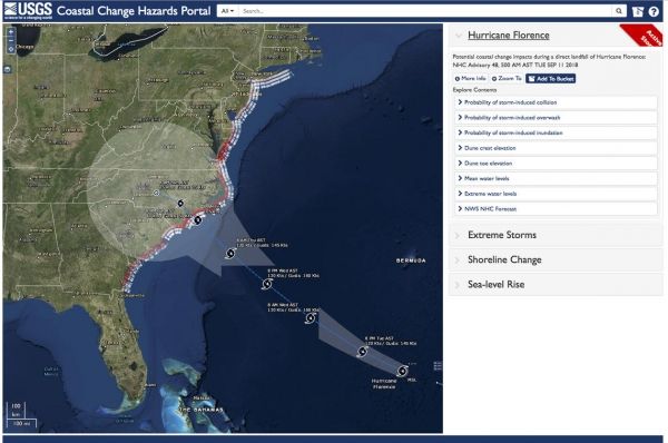
Tropical storms, hurricanes and other large coastal storms can impact coastal and inland communities and ecosystems with high winds, storm surge, erosion and flooding. These forces can destroy buildings, roads and bridges and reshape the nation’s coastline.
When a major storm threatens to make landfall in the United States or its territories, the USGS provides comprehensive scientific capabilities and information that decision makers, emergency responders and communities can use to help them prepare, cope and recover from a storm. This includes the USGS’ ability to forecast coastal change; track storm surge, river and stream levels and flow; measure coastal and inland flooding across entire regions; capture high-resolution ground elevation and topographic data; and create detailed maps used by disaster teams responding in the aftermath of storms.
Continue reading at USGS.
Image via USGS.