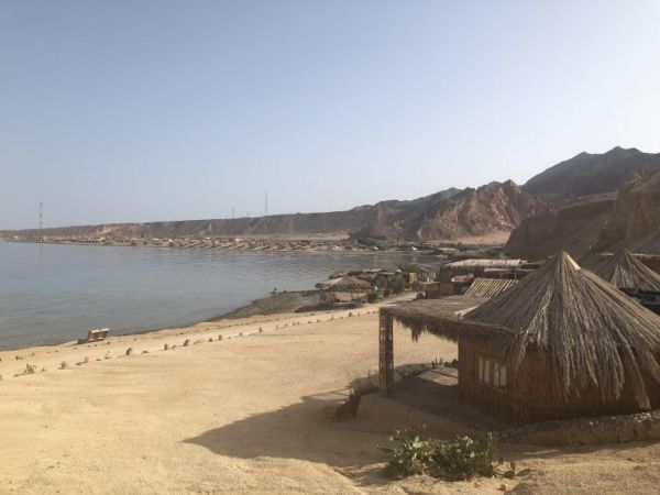
Researchers who took a closer look at a 1995 tsunami in the Gulf of Elat-Aqaba, at the northeastern tip of the Red Sea, say that the gulf’s surrounding countries should prepare for future tsunami hazards in the economically developing vital region.
A team of scientists led by Amos Salamon of the Geological Survey of Israel simulated tsunamis, using the GeoClaw modeling program, paired with models of the magnitude 7.2 Nuweiba earthquake, which led to the 1995 tsunami in the gulf. They conclude in the journal Seismological Research Letters that the tsunami simulations correspond well with data on wave height, inundation and damage reported from the actual small tsunami.
Four countries—Egypt, Saudi Arabia, Jordan and Israel—border the Gulf of Eliat-Aqaba. Nuweiba is an Egyptian coastal town on the gulf. The tsunami reached its greatest wave height—three to four meters at the Nuweiba harbor —and brought the most serious damage to a platform there, with some minor damage also occurring to local nomad dwellings along the coast and to the Aqaba Port.
Read more at Seismological Society of America
Image: Structures in Egypt along the Gulf of Elat-Aqaba were affected by the 1995 tsunami. CREDIT: Natalie Michelson


