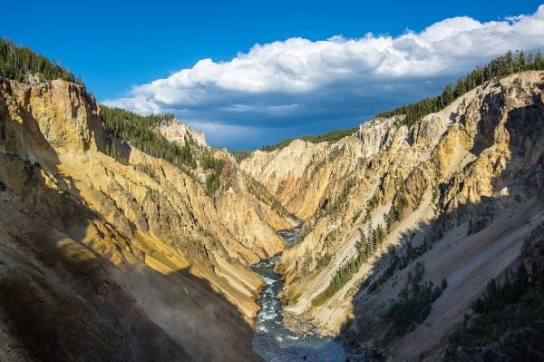
Over millions of years, Earth’s summits and valleys have moved and shifted, resulting in the dramatic landscapes of peaks and shadows we know today. Mountains often form when pressure under Earth's surface pushes upward, yet many factors impact their ultimate height, including the erosion of the areas between mountains, known as channels.
Scientists have long assumed that as land is pushed faster upward to form a mountain, its height increases in a continuous and predictable way. But new research shows that these predictions may stop working for the steepest mountains and therefore limit their height – and this may hold true for ranges on the entire planet.
“People have argued for a long time that as channels get steeper and steeper, the erosion rate keeps increasing,” said George Hilley, a professor of geological sciences at Stanford University’s School of Earth, Energy & Environmental Sciences (Stanford Earth) and lead author of a study published in Nature Geoscience Sept. 16. “We find that the theory works really well until a certain point and then it breaks down empirically – it seems as though something else kicks in that we don't completely understand.”
The researchers analyzed samples from a broad range of mountain landscapes across the tropics, including Venezuela, Brazil, Guatemala, Costa Rica and Taiwan, controlling for rock type and climate conditions to assess parallel comparisons. They found that after mountains reach a certain elevation, channels between mountains suddenly become extremely sensitive to subtle changes in their inclines, thereby limiting the height of the mountains above. They added data from hundreds of mountain ranges worldwide and found they followed a similar pattern: the height, or relief, of the landscape is capped after crossing a threshold driven by channel steepness.
Read more at Stanford's School of Earth, Energy & Environmental Sciences
Photo Credit: skeeze via Pixabay


