Geologists have improved upon methods to map seabed rocks, helping us better understand underwater earthquakes and the tsunamis they can cause.
Their technique combines traditional 'acoustic mapping' with a newer method called 'full waveform inversion'. They found their new method enhanced their view of rocks along a fault line – a break in the Earth's crust – off the east coast of New Zealand’s North Island.
The researchers hope that their clearer view of the rocks around these fault lines – whose movements can trigger earthquakes and subsequent tsunamis – will help them better understand why such events happen.
Lead author Melissa Gray, from Imperial College London’s Department of Earth Science and Engineering, said: “We can now scan underwater rocks to see their properties in greater detail. Hopefully this will help us to better work out how earthquakes and tsunamis happen.”
Read more at Imperial College London
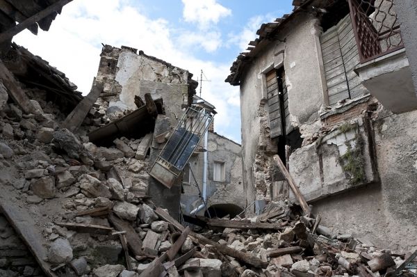
Photo Credit: Angelo_Giordano via Pixabay


