Winter is just around the corner, and NOAA’s U.S. winter outlook for 2019-20 is out. For meteorological winter, which extends from December through February, NOAA’s Climate Prediction Center forecasts warmer-than-average temperatures for much of the U.S., with wetter-than-average conditions most likely across the Northern Tier of the U.S.
As we move into the colder and snowy months of the year, NOAA’s next generation of geostationary and polar-orbiting satellites will be a critical source for monitoring and forecasting whatever weather winter throws our way.
Orbiting at 22,300 miles above the Earth, NOAA’s new series of Geostationary Operational Environmental Satellites (GOES-R) monitor and track the world’s weather — from eastern Australia to western Africa.
Several instruments onboard NOAA’s new geostationary satellites, GOES-16 and GOES-17, bring state-of-the-art observational capabilities, including the 16-band Advanced Baseline Imager (ABI) and the Geostationary Lightning Mapper (GLM). These sensors give scientists and forecasters better and faster weather data during the United States’ often-turbulent winter months.
Continue reading at National Environmental Satellite, Data, and Information Service
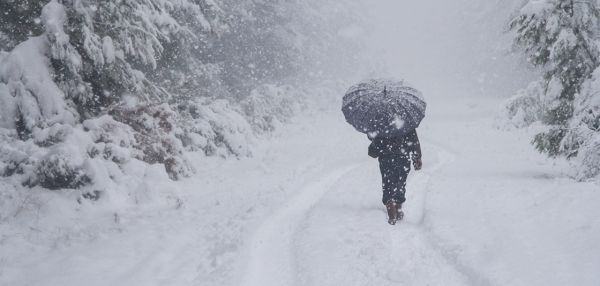
Image via National Environmental Satellite, Data, and Information Service