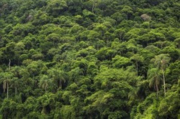
The world’s tropical forests store huge quantities of carbon in their biomass and thus constitute an important carbon sink. However, current estimates of the amount of carbon dioxide stored in tropical forests of the Amazon vary largely. Scientists at the Helmholtz Centre for Environmental Research (UFZ) have developed an approach that uses recent satellite data to provide much more precise estimates of the amount of biomass in tropical forests than in the past. This makes it possible to obtain a more exact picture of the consequences of droughts and forest fires for the Amazon, according to their article in the Nature Communications journal.
Estimating forest biomass from satellite measurements is still a challenge, as there exists currently no direct measurement method. State-of-the-art satellites equipped with laser or radar instruments now open up a new range of options: they not only measure the height of the forests around the globe but also the entire structure of these forests. The forest modelling team led by Prof. Dr. Andreas Huth of the UFZ now combined the measurements from a laser satellite with the FORMIND forest model developed at the UFZ; this model uses climate and soil data to simulate the dynamics of forests and the growth of individual trees with a resolution of up to 20 metres.
Over 700,000 such laser datasets were evaluated in this way for the Amazon rainforest. The result: important forest attributes, which are crucial in providing a picture of a forest area, can be estimated much more accurately in future. These forest attributes include the above-ground biomass and the rate of forest growth (i.e. gross primary production).
Continue reading at Helmholtz Centre for Environmental Research
Image via Helmholtz Centre for Environmental Research