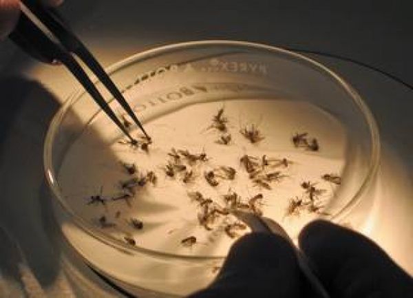
The invasive mosquito surveillance system, called CalSurv (short for California Vectorborne Disease Surveillance System), helps mosquito control agencies and public health officials monitor and respond to potential outbreaks of mosquito-borne diseases by mapping the insects that can carry these deadly viruses.
According to the Centers for Disease Control and Prevention (CDC), the number of cases of mosquito-borne disease in the United States is growing – the rate of these infections was 10 times higher in 2016 than in 2004. Expanding surveillance of mosquitoes in the United States is becoming more pressing. “Mosquito season" in the United States reaches its peak during the heat of summer. Rising global temperatures are associated with warmer spring and fall temperatures, which allow mosquitoes to breed and multiply beyond the summer months.
NASA funded grants to enhance CalSurv with Earth observation data in 2015, so vector control and public health agencies have the early warning they need to help keep mosquito invasions from turning deadly. These Earth observations are incorporated into CalSurv, UtahSurv, JerseySurv, and other iterations of the project.
Data from a number of sources and satellites, like NASA’s Terrestrial Observation and Prediction System, are used to map mosquitoes that can carry these deadly viruses. Chris Barker, an associate professor of epidemiology at the University of California, Davis, leads the NASA Applied Sciences Health and Air Quality Applications project. He says this information provides critical updates to mosquito control agencies across the United States, particularly for monitoring invasive mosquito species. “NASA’s Earth observations give us hourly data across the country – in other words, any state can easily use the CalSurv gateway.”
Continue reading at NASA
Image via Centers for Disease Control


