A University of Wyoming researcher and his colleagues have shown that much of the southwestern United States was once a vast high-elevation plateau, similar to Tibet today.
This work has implications for the distribution of natural resources, such as copper, and provides insight into the formation of mountains during the subduction of tectonic plates.
“We normally think of southern Arizona and the surrounding areas as hot, cactus-laden deserts with relatively low base elevations, below 3,000 feet,” says Jay Chapman, an assistant professor in UW’s Department of Geology and Geophysics. “However, our recent research suggests that, during the Late Cretaceous to Early Paleogene period (80-50 million years ago), the region may have had elevations in excess of 10,000 feet and looked more like the Tibetan plateau north of the Himalayan Mountains or the Altiplano in the Andes Mountains in South America.”
Chapman is lead author of a paper, titled “Geochemical evidence for an orogenic plateau in the southern U.S. and northern Mexican Cordillera during the Laramide Orogeny,” which was published online Nov. 22 in the journal Geology. The print version will be published in February.
Read more at University of Wyoming
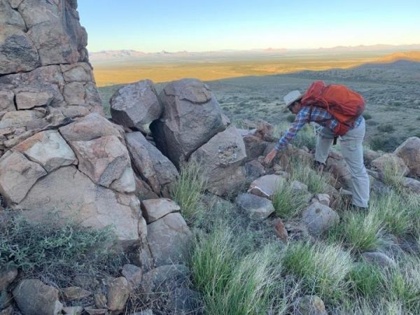
Image: University of Wyoming Assistant Professor Jay Chapman has led geological research showing the southwestern United States was once similar to modern-day Tibet. (Credit: Adam Trzinski)


