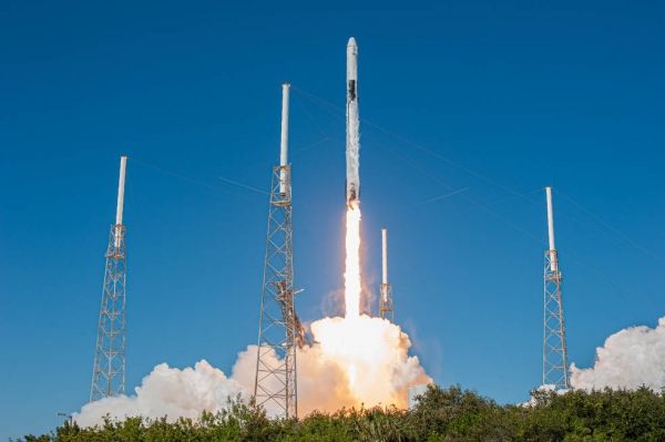
4. . . 3. . . 2. . . 1. . . liftoff! All of a sudden a tiny NASA-funded satellite, one of many passengers aboard the SpaceX Dragon spacecraft, shot into the sky on a mission to prove its new technology could change the way we measure Earth, and eventually, the Moon.
The Compact Infrared Radiometer in Space instrument on a CubeSat, also known as CIRiS, launched from Cape Canaveral Air Force Station in Florida to the International Space Station on Dec. 5. The backpack-sized satellite is aiming to collect, process and calibrate infrared images to reveal Earth’s temperature for the first time from a small satellite. “If we can do this, we have greatly increased the value of the data for Earth Science applications, as well as land and water management,” David Osterman, the CIRiS Principal Investigator at Ball Aerospace, said.
Farmers could use CIRiS’s data as they determine if a grove of orange trees needs more water or if a vineyard is too wet. In fact, farmers, water managers and other decision makers are beginning to use remotely sensed estimates of consumptive water use from larger sensors like the Thermal Infrared Sensor (TIRS) aboard Landsat 8, which is jointly run by the U.S. Geological Survey and NASA.
Continue reading at NASA Goddard Space Flight Center
Image via NASA Goddard Space Flight Center