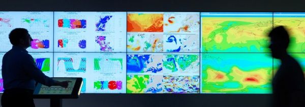
The decision to include new measurements in weather forecasts is never taken lightly; it takes a lot of work to understand the data properly and ensure that they are of good quality.
It is extremely unusual for a completely new type of satellite data to be ready for practical use in forecasts so soon after launch. Nevertheless, this extraordinary satellite has surpassed expectations and, as of today, Aeolus will be improving our forecasts, from one-day forecasts to those forecasting the weather more than a week ahead.
Boasting a number of ‘firsts’, Aeolus is the first satellite mission to provide profiles of Earth’s wind in cloud-free air globally, carries the first instrument of its kind, and uses a novel approach to measuring the wind from space.
Its novel Doppler wind lidar instrument, which comprises a powerful laser, a large telescope and a very sensitive receiver, emits short, powerful pulses of ultraviolet light down into the atmosphere and measures the shifts in wavelength of the laser light scattering off molecules and particles moving in the wind.
Aeolus was designed to fill the lack of wind-profile measurements in the weather observation network and, therefore, to play a key role in increasing our understanding of the workings of the atmosphere, contribute to climate research and also improve weather forecasting.
Before forecasters could assimilate Aeolus’ data into weather forecasts, some serious testing and quality checks had to be done.
Continue reading at European Space Agency
Image via European Space Agency


