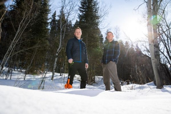
Deep in the Tushar mountains, some three hours south of BYU’s campus, Ph.D. student Jordan Maxwell and two other students found themselves in deep snow, both literally and figuratively.
It was December 2014 and the students had just started field work under the tutelage of BYU professor Sam St. Clair for research on the impact of wildfires on snowpack levels. Unfortunately, the snowmobiles they’d been using could go no further and there were still dozens of measurements they needed to take. “So, we put on our skis and got to work,” Maxwell said.
The students would go on to log between 15 and 20 miles of backcountry skiing each day in the field, measuring snow depth levels and snow water equivalency at 30 sampling spots within the footprint of the Twitchell Canyon Fire, a 2010 mega-fire that consumed 45,000 acres and was the largest active wildfire in the United States at the time.
The team also measured the presence, height and diameter of trees at each location and whether or not those trees were killed by the fire. After crunching the data, collected over that winter and the next, they found pretty impressive numbers: there was an 85% greater snow depth in areas that burned completely compared to areas that didn’t burn at all.
Continue reading at Brigham Young University
Image via Brigham Young University


