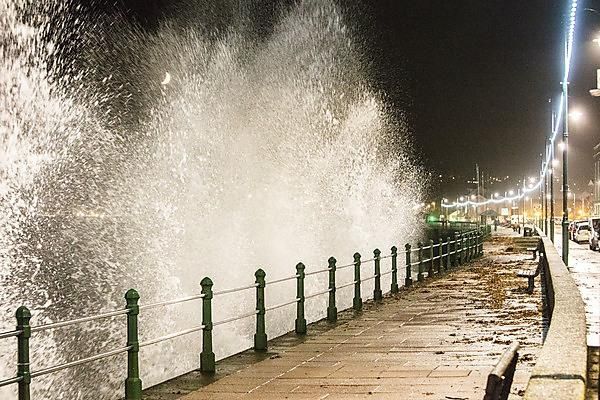
One of the greatest challenges facing coastal communities during extreme storms is to predict where, and when, coastal flooding might occur.
To overcome that, scientists from the University of Plymouth have developed a more accurate way of forecasting wave overtopping hazards around the South West.
The Operational Wave and Water Level (OWWL) model has been developed by the University’s Coastal Processes Research Group as part of the South West Partnership for Environmental and Economic Prosperity (SWEEP) project.
It takes data from the Met Office and refines it to provide a high-resolution inshore wave forecast. In addition, the model uses detailed profiles of 183 beaches around the region, which – for the first time – allows the individual characteristics of an area to be taken into account in predicting potential flooding.
The profiles look at everything from the slope of the beach, whether it is comprised of sand or gravel, and whether there are any sea defences in place.
Continue reading at University of Plymouth
Image via University of Plymouth


