For the first time in more than a century, Vermont and neighboring states are losing forestland to development at a rate of almost 1,500 acres per year. As forest fragmentation gains ground across the New England landscape, where private ownerships and small land parcels are the norm, conserving land for future generations of people, wildlife, and plants becomes more necessary but more difficult.
Vermont is a third of the way there. In a new study, forest conservation experts at the University of Vermont (UVM) confirmed that the state has already protected 33%, or 1.3 million acres, of highest priority targeted lands needed to protect and connect valuable wildlife habitats and corridors.
Most of the currently conserved lands are forested, yet not nearly enough of the state’s highest priority targeted surface water and riparian areas – ponds, rivers, shorelines, and wetlands – are protected. Many animals require zones along waterways in which to travel between habitats they need to survive.
The researchers scrutinized Vermont’s new state-level vision for conservation, Vermont Conservation Design, meant to create physical pathways for movement of animals and plants across the landscape, especially in a future of changing climate. They compiled a database of Vermont’s conserved lands and overlaid them with the state’s highest priority landscape targets.
Read more at University of Vermont
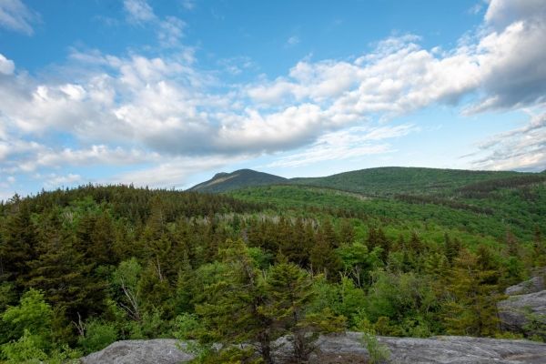
Image: Historically, forest conservation targeted high elevation settings--like this summit of Vermont's Camel's Hump mountain. A new study from the University of Vermont found that the state has adequately conserved higher elevation lands that are targeted for protection, but lower elevation areas lack the same degree of protection. (Credit: Joshua Brown/UVM)