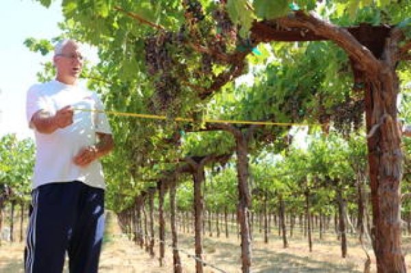
Now, grape growers like Gallo are using data from Earth-observing satellites to better track soil and vine moisture levels, understand vine water use and plan grapevine irrigation.
The Grape Remote-sensing Atmospheric Profile and Evapotranspiration eXperiment (GRAPEX) project begun in 2013 is aimed at developing a multiscale remote-sensing vineyard management toolkit. It is the result of a private-public collaboration between NASA, the U.S. Department of Agriculture (USDA), Utah State University and Gallo.
"GRAPEX grew out of our desire to harness the power of the remote-sensing data provided by Landsat satellites," said Nick Dokoozlian, vice president of viticulture, chemistry and enology at Gallo, referring to the land-imaging satellites developed in a partnership between NASA and the U.S. Geological Survey (USGS) for over 40 years. "It's grown into a highly cross-functional, multidisciplinary project that's far exceeded anything I could have imagined when we started.”
"The work with GRAPEX has dramatically improved our ability to accurately schedule irrigation," Dokoozlian said. “Once we implement the findings of GRAPEX across our entire vineyard acreage, we will reduce the amount of water we apply for irrigation by up to 25%, and that's a very, very big number."
Continue reading at NASA
Image via NASA