In the language of the Tlingit people, Admiralty Island’s original name—Kootznoowoo—means “Fortress of the Bears.” It is a fitting name for a place with one of the highest densities of brown bears in North America. The bears—roughly 1,500 in an area the size of Delaware—thrive in the island’s dense spruce and hemlock forests and alpine meadows.
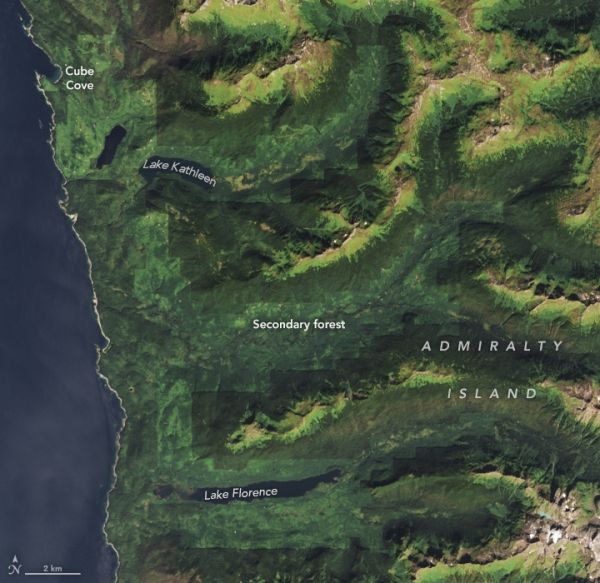
However, years of logging and ecosystem change near a cove in the northwestern part of the otherwise pristine island have left their mark. During a period of logging in the 1980s and 1990s, old-growth forests in certain stream and lake valleys were stripped bare. The changes near Cube Cove altered the island’s coastal temperate rainforest ecosystem, requiring that bears—and several other types of wildlife—make adjustments. In addition to having some of the world’s most productive bald eagle habitat, the forests and waterways around Cube Cove support deer, otters, martens, minks, and many types of other birds and fish.
The Enhanced Thematic Mapper Plus (ETM+) on Landsat 7 captured the image above, which highlights the extent of the logging in 2002, three years after large-scale clearcutting had stopped. Two decades later, Landsat 8 imagery tells a story of regrowth.
Continue reading at NASA Earth Observatory
Image via NASA Earth Observatory