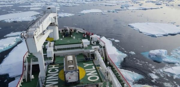
The study, led by the Scott Polar Research Institute at the University of Cambridge, used patterns of delicate wave-like ridges on the Antarctic seafloor to calculate how quickly the ice retreated roughly 12,000 years ago during regional deglaciation.
The ridges were produced where the ice sheet began to float, and were caused by the ice squeezing the sediment on the seafloor as it moved up and down with the movement of the tides. The images of these landforms are at unprecedented sub-metre resolution and were acquired from an autonomous underwater vehicle (AUV) operating about 60 metres above the seabed. The results are reported in the journal Science.
While modern satellites are able to gather detailed information about the retreat and thinning rates of the ice around Antarctica, the data only goes back a few decades. Calculating the maximum speed at which an ice sheet can retreat, using sets of these seafloor ridges, reveals historic retreat rates that are almost ten times faster than the maximum observed rates of retreat today.
Continue reading at University of Cambridge
Image via University of Cambridge


