New research near Uluru in Australia’s arid centre shows that rock structures formed deep within the ancient Gondwana supercontinent controlled the rupture pathways of one of Australia’s largest modern earthquakes.
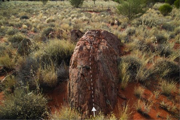
Seismological and geological studies led by University of Melbourne researchers show the 2016 magnitude 6.0 Petermann earthquake produced a landscape-shifting 21 km surface rupture. The dimensions and slip of the fault plane were guided by zones of weak rocks that formed more than 500 million years ago.
The unusually long and smooth rupture produced by this earthquake initially puzzled scientists as Australia’s typically strong ancient cratons tend to host shorter and rougher earthquakes with greater displacements at this magnitude.
“We found that in regions where weaker rocks are present, earthquakes may rupture faults under low friction,” said University of Melbourne Research Fellow, Dr Januka Attanayake.
Read more at University of Melbourne
Image: Surface rupture trace from the 2016 Petermann Ranges earthquake. (Credit: Dr Dan Clark, Geoscience Australia)


