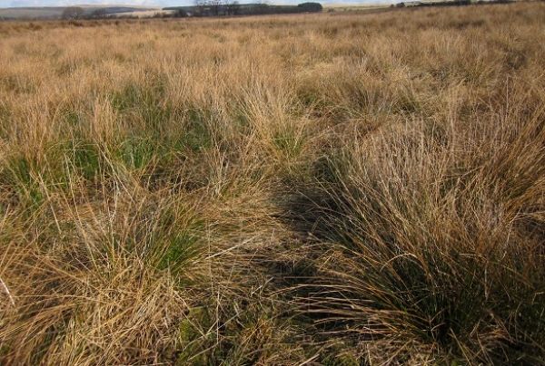
Researchers used a series of Google Earth images to plot the spread of rushes in farm fields in the West Pennine Moor SSSI – an area of the Lancashire uplands between Bolton, Bury and Darwen.
The study is the first to investigate the spread of rushes in areas of the UK uplands. Although the study focused on one area of upland, anecdotal evidence suggests the problem could be happening across many other UK hill farms.
Using more than 200 images from Google Earth taken across a 13-year period between 2005 and 2018, the researchers found that rushes have spread across the surveyed area by between 82 per cent and 174 per cent.
Continue reading at University of Liverpool
Image via University of Liverpool


