Increased data resolution makes it possible to scrutinize individual trees on a farm, which enables farmers to take targeted action. As the world’s population grows, it is vital to have improved ways to optimize food production. Remote sensing technologies are key to meeting these goals, providing the means to monitor crop health over large areas.
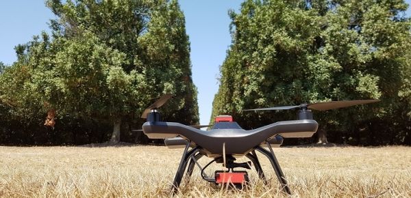
Researchers, Kasper Johansen and Matthew McCabe, at KAUST’s Water Desalination and Reuse Center, with co-workers in Australia, have demonstrated this potential using combined data from satellite and unmanned aerial vehicle (UAV) flights to accurately map the condition of macadamia trees in Queensland.
Macadamia nuts are an important export for Australia, but the trees take 15 years to mature and provide their maximum yield, so farmers must identify early any trees that are suffering. “Currently, macadamia farmers rely on manual visual assessment of each tree and its irrigation system, which is time-consuming and often inconsistent,” says Johansen, “whereas UAV and satellite remote sensing could evaluate thousands at a time.”
Continue reading at King Abdullah University of Science and Technology
Image via King Abdullah University of Science and Technology