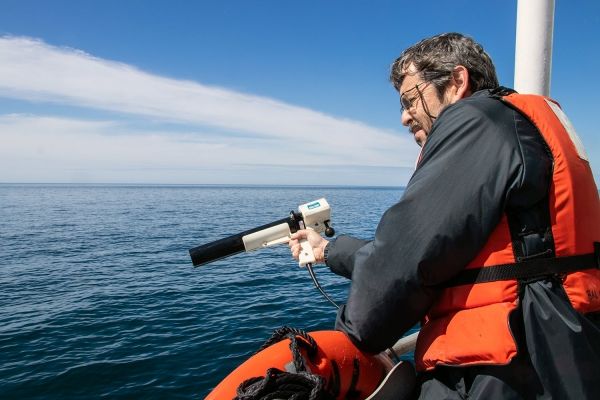
A paper published in Applied Optics reports using a laser-based tool, lidar, to collect these measurements far deeper than has been typically possible using satellites.
“Traditional satellite remote sensing approaches can collect a wide range of information about the upper ocean, but satellites typically can’t ‘see’ deeper than the top five or 10 meters of the sea,” said Barney Balch, a senior research scientist at Bigelow Laboratory for Ocean Sciences and an author of the paper. “Harnessing a tool that lets us look so much deeper into the ocean is like having a new set of eyes.”
Lidar uses light emitted by lasers to gain information about particles in seawater, much as animals like bats and dolphins use sound to echolocate targets. By sending out pulses of light and timing how long it takes the beams to hit something and bounce back, lidar senses reflective particles like algae in the water.
Continue reading at Bigelow Laboratory for Ocean Sciences
Image via Bigelow Laboratory for Ocean Sciences


