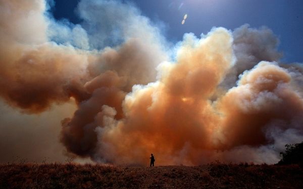
The weather pattern this week week will be hot and dry due to an upper level ridge of high pressure positioned over the state, according to the Texas A&M Forest Service. This pattern is similar to what was observed July 9-17, when wildfire activity increased across much of the state. During this period of time, state and local resources responded to 205 wildfires that burned 45,376 acres.
Forecasted triple digit temperatures will produce a high rate of drying in wildland vegetation, which will increase the risk of wildfire activity. The combination of elevated fire weather — higher wind speed and lower humidity– and dry wildland vegetation may produce wildfires that are hard to control.
“We are entering our late summer fire season when we normally expect an increase in wildfire activity,” said Brad Smith, Texas A&M Forest Service Predictive Services Department head. “The hot and dry conditions forecast for [this week], as well as the presence of underlying drought conditions west of Interstate 35, raise concerns for significant wildfire activity. These wildfires will be very resistant to control and require more time and more firefighters to extinguish.”
Continue reading at Texas A&M University
Image via Texas A&M University


