This report is part of NOAA’s ongoing commitment to meet core surveying and nautical charting mandates while supporting broader needs to fill gaps in seafloor mapping and environmental sciences.
“This is an exciting and pivotal time for the nation’s primary marine mapping program,” said Rear Adm. Shep Smith, director of NOAA’s Office of Coast Survey. “This strategy will guide the application of Coast Survey’s expertise and capabilities to survey our coasts and oceans with smart management, strategic partnerships, and investment in force-multiplying technology.”
Coast Survey’s plan highlights its contributions to fulfilling the Presidential Memorandum on Ocean Mapping of the United States Exclusive Economic Zone and the Shoreline and Nearshore of Alaska and the recently-released National Strategy for Mapping, Exploring, and Characterizing the United States Exclusive Economic Zone (NOMEC). The plan builds on the momentum in support of ocean mapping efforts driven by new and emerging technologies, such as unmanned systems, artificial intelligence, and cloud computing.
Continue reading at NOAA Office of Coast Survey
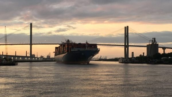
Image via NOAA Office of Coast Survey


