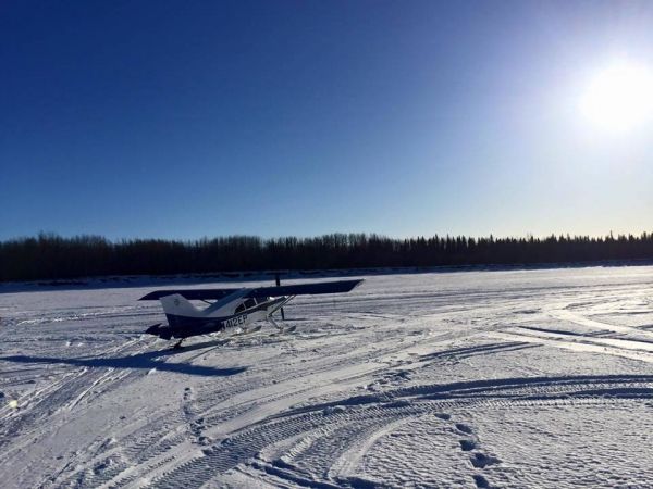
Starting next month, scientists will start the first round of testing of this product on flight paths over Alaska. The product, which combines cloud measurements from the Visible Infrared Imaging Radiometer Suite (VIIRS) instrument on the Suomi-National Polar-Orbiting Partnership (NPP) and NOAA-20 satellites with atmospheric sounding data from the Advanced Technology Microwave Sounder (ATMS) instrument and pilot reports, is designed to help pilots understand the extent of clouds and hazardous icing conditions on a given flight route.
This product, which is funded by the NOAA Cooperative Institute for Research in the Atmosphere (CIRA) at Colorado State University, was developed in response to specific needs from the aviation community and a demand for satellite cloud products for aviation weather applications, said Yoo-Jeong Noh, a research scientist with CIRA and one of the product’s developers.
“Before this approach, we usually just provided a two-dimensional view of the cloud tops,” she said. “But aviation users are always interested in the vertical structure of clouds.”
Continue reading at NASA Goddard Space Flight Center
Image via NASA Goddard Space Flight Center