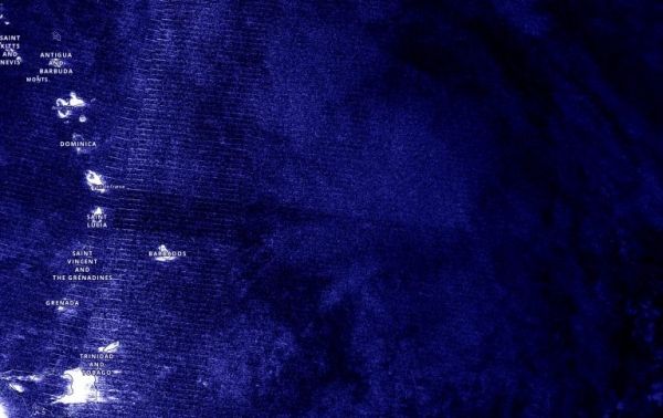
The Visible Infrared Imaging Radiometer Suite (VIIRS) instrument aboard NASA-NOAA’s Suomi NPP satellite provided a nighttime image of Tropical Depression 13 during the early morning hours of Aug. 21. Nighttime imagery showed the structure of Tropical Depression 13 was still somewhat elongated but it had become better organized than it was yesterday although it still lacked well-defined banding features. Nighttime imagery from NASA-NOAA’s Suomi NPP satellite was created using the NASA Worldview application at NASA’s Goddard Space Flight Center in Greenbelt, Md.
When NOAA’s Hurricane Hunters flew over the storm later in the morning, they also found that the center of the storm is located somewhat to the south of previous estimates.
Continue reading at NASA Goddard Space Flight Center
Image via NASA Goddard Space Flight Center


