Tropical Storm Paulette has run into wind shear that is pushing the bulk of clouds and showers away from its center of circulation, and that is apparent on infrared imagery from NASA.
A large upper-level trough or elongated area of low pressure is located to the northwest of Paulette, and this feature is producing 20 to 30 knots (23 to 35 mph/37 to 56 kph) of south-southwesterly wind shear over the cyclone. Wind shear occurs when winds blowing outside of a tropical cyclone at different levels of the atmosphere push against the tropical cyclone weakening it. The wind shear Paulette is experiencing is pushing the bulk of clouds to the north-northeast of the center.
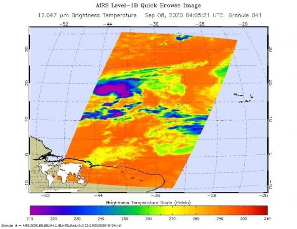
NASA’s Infrared Data Reveals Heavy Rainmakers
Tropical cyclones are made up of hundreds of thunderstorms, and infrared data can show where the strongest storms are located. That is because infrared data provides temperature information, and the strongest thunderstorms that reach highest into the atmosphere have the coldest cloud top temperatures.
Read more at: NASA/Goddard Space Flight Center
On Sept. 9 at 12:50 a.m. EDT (0450 UTC) the MODIS instrument that flies aboard NASA's Aqua satellite revealed the most powerful thunderstorms (yellow) were around Paulette's center where cloud top temperatures were as cold as minus 80 degrees Fahrenheit (minus 62.2 Celsius). Strong storms (red) with cloud top temperatures as cold as minus 70 degrees Fahrenheit (minus 56.6. degrees Celsius) were pushed east-northeast of the center. (Photo Credit: NASA/NRL)