JA Purity IV JA Purity IV
  • Blog
  • Press Releases
  • affiliates
  • ABOUT ENN
  • Spanish

Magazine menu

  • Top Stories
  • ENN Original
  • Climate
  • Energy
  • Ecosystems
  • Pollution
  • Wildlife
  • Policy
  • More
    • Agriculture
    • Green Building
    • Sustainability
    • Business
  • Sci/Tech
  • Health
  • Press Releases
  • Blog
  • Press Releases
  • affiliates
  • ABOUT ENN
  • Spanish
JA Purity IV JA Purity IV
  • Top Stories
  • ENN Original
  • Climate
  • Energy
  • Ecosystems
  • Pollution
  • Wildlife
  • Policy
  • More
    • Agriculture
    • Green Building
    • Sustainability
    • Business
  • Sci/Tech
  • Health
  • Press Releases
Details
NASA Goddard Space Flight Center By NASA Goddard Space Flight Center
NASA Goddard Space Flight Center
14.Sep

NASA-NOAA Satellite Helps Confirm Teddy Now a Record-Setting Tropical Storm

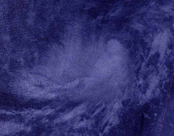
NASA-NOAA’s Suomi NPP satellite provided an infrared image of Tropical Depression 20 in that helped confirm it organized and strengthened into Tropical Storm Teddy.

Teddy, which has broken a hurricane season record, is expected to become a major hurricane later in the week, according to the National Hurricane Center (NHC).

Tropical Depression 20 formed late on Saturday, Sept. 12 in the Central North Atlantic Ocean, about 2,030 miles (3,265 km) east of the Northern Leeward Islands. It maintained tropical depression status until this morning, Sept. 14, when infrared satellite data helped confirm it had strengthened and organized. NHC reported this makes Tropical Storm Teddy the earliest 19th named storm, besting the unnamed tropical storm on October 4, 2005.

Continue reading at NASA Goddard Space Flight Center

Image via NASA Goddard Space Flight Center

Michael Hammer
Michael Hammer


  • Sci/Tech
  • Top Stories
  • Climate
  • Sci/Tech
  • Top Stories
  • Climate
Previous article: NASA Catches Development of Eastern Atlantic’s Tropical Storm Vicky Prev Next article: NASA Satellite Imagery Catches Sally’s Development into a Hurricane Next