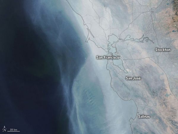
After a brief lull, a late-September heat wave reinvigorated California’s already brutal 2020 fire season.
The Visible Infrared Imaging Radiometer Suite (VIIRS) on the NOAA-20 satellite captured this natural-color image of the state on October 1, 2020. The volume of smoke coming from the fires has been high in recent days and has spread across much of the state.
On the same day, the Environmental Protection Agency’s Airnow system reported that many sensors across the state had measured unhealthy (between 150-200 on the air quality index) and hazardous (above 300 AQI) conditions in recent days. In a few cases, especially close to the fires, sensors recorded AQI values that exceeded 1000.
Continue reading at NASA Earth Observatory
Image via NASA Earth Observatory


