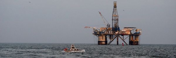
At the immediate request of the U.S. Army Corps of Engineers (USACE), NOAA’s navigation response teams (NRTs) and NOAA Ship Thomas Jefferson surveyed areas within the Gulf Intracoastal Waterway (GIWW), Calcasieu Ship Channel, and the entrance to the channel. With lessons learned from the response to Hurricane Laura — the first major hurricane of the 2020 season and the first hurricane response during a pandemic — the teams and Thomas Jefferson successfully collected, processed, and delivered data to the USACE, identifying significant hazards to navigation and helping to ensure the timely reopening of waterways.
Delta made landfall along Louisiana’s coast as a Category 2 storm on Friday, October 9. By the afternoon of October 10, the NRTs were on the water, surveying many of the same areas they surveyed following Hurricane Laura including Devil’s Elbow, GIWW from the West Lock Gate of Calcasieu Lock to the toe of the Devil’ Elbow Reach, GIWW from intersection of Calcasieu River to LA 27 Bridge, and a portion of the Calcasieu River. They even had the opportunity to check in on National Ocean Service assets such as water level stations and tide gages.
Coast Survey had a different strategy to collect and process data this time around in order to keep safe social distancing from one another and follow protocols with regard to the COVID-19 pandemic. Coast Survey established separate data acquisition and processing teams along with a data runner in between. This allowed for a quicker turnaround between data collection and processing to report results to the USACE for reopening the channel.
Continue reading at NOAA Office of Coast Survey
Image via NOAA Office of Coast Survey