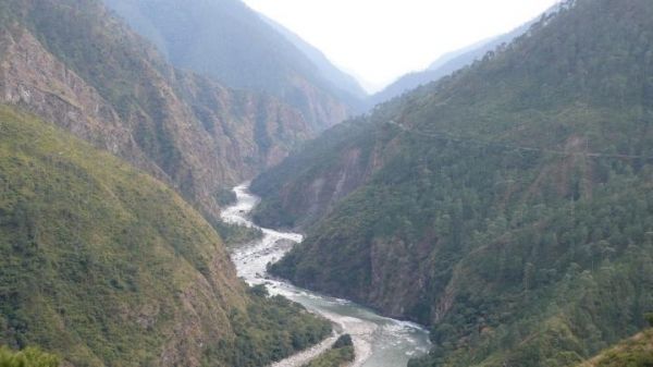
Scientists have long thought that rainfall has a dramatic effect on the evolution of mountainous landscapes, but the reasons for how and why have been elusive. This seemingly logical concept has never been quantitatively demonstrated until now, thanks to a new technique that captures precisely how even the mightiest of mountain ranges — the Himalaya — bends to the will of raindrops.
The research, recently published in Science Advances with Arizona State University co-authors Kelin Whipple, Arjun Heimsath and Kip Hodges of the School of Earth and Space Exploration, not only improves our understanding of how mountain ranges evolve over millions of years, but also paves the way for understanding natural hazards associated with climate-driven erosion and, in turn, human life.
“These findings are the latest outcome from a collaborative study that began several years ago at ASU of the distinct tectonic, topographic, and erosional evolution of the Bhutan Himalaya,” Whipple said. “Our major motivation was to achieve an improved understanding of how current and past rainfall patterns sculpt topography and potentially influence the pattern and rate of tectonic uplift.”
Read more at: Arizona State University
The Bhutan Himalaya is a land of extremes with rugged topography, dissecting low-relief uplands, rainfall that ranges from 0.7 to 6 m/year and erosion rates that vary by more than 2 orders of magnitude. (Photo Credit: A. Heimsath/ASU)


