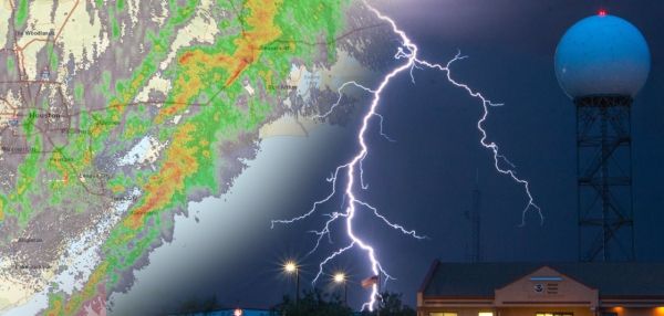
Meteorologists rely on weather radar to see developing storms, and now you can, too.
NOAA’s new interactive radar viewer webpage with expanded radar data will allow you to observe the type and movement of precipitation falling from the sky. Looking at several radar images over a period of time — or a radar loop — can offer clues about where and how fast the rain or snow is falling. A radar loop can also help show if the hazard is growing or shrinking in the area or if it is becoming more intense; it can even see precipitation in the dark or when it's cloudy.
On the new page, radar data can be layered with National Weather Service watches, warnings and forecasts and is presented on a dynamic map that allows zooming and panning. And we also provide radar images more frequently and at four times higher resolution than before. Weather radar can track rain and snow, and see potential for flash flooding.
Continue reading at NOAA
Image via NOAA