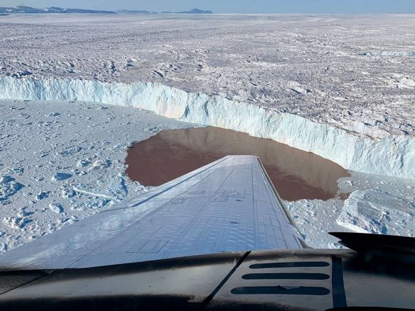
Greenland’s melting glaciers, which plunge into Arctic waters via steep-sided inlets, or fjords, are among the main contributors to global sea level rise in response to climate change. Gaining a better understanding of how warming ocean water affects these glaciers will help improve predictions of their fate. Such predictions could in turn be used by communities around the world to better prepare for flooding and mitigate coastal ecosystem damage.
But researchers have long lacked measurements of the depths of the fjords along Greenland’s craggy coast. Without this information, it’s extremely difficult to arrive at a precise assessment of how much ocean water is being allowed into the fjords and how that affects glacier melt. By measuring their fjords one by one, a new study published in Science Advances has quantified, for the first time, how the warming coastal waters are impacting Greenland’s glaciers.
For the past five years, scientists with the Oceans Melting Greenland (OMG) mission have been studying these marine-terminating glaciers from the air and by ship. They found that of the 226 glaciers surveyed, 74 in deep fjords accounted for nearly half of the total ice loss (as previously monitored by satellites) from Greenland between 1992 and 2017.
Continue reading at NASA Jet Propulsion Laboratory
Image via NASA Jet Propulsion Laboratory


