In 1958, a magnitude 7.8 earthquake triggered a rockslide into Southeast Alaska’s Lituya Bay, creating a tsunami that ran 1,700 feet up a mountainside before racing out to sea.
Researchers now think the region’s widespread loss of glacier ice helped set the stage for the quake.
In a recently published research article, scientists with the University of Alaska Fairbanks Geophysical Institute found that ice loss near Glacier Bay National Park has influenced the timing and location of earthquakes with a magnitude of 5.0 or greater in the area during the past century.
Scientists have known for decades that melting glaciers have caused earthquakes in otherwise tectonically stable regions, such as Canada’s interior and Scandinavia. In Alaska, this pattern has been harder to detect, as earthquakes are common in the southern part of the state.
Read more at: University of Alaska Fairbanks
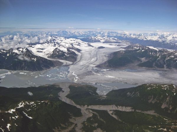
Glaciers such as the Yakutat in Southeast Alaska, shown here, have been melting since the end of the Little Ice Age, influencing earthquakes in the region. (Photo Credit: Sam Herreid)