New, detailed study of the Renland Ice Cap offers the possibility of modelling other smaller ice caps and glaciers with significantly greater accuracy than hitherto. The study combined airborne radar data to determine the thickness of the ice cap with on-site measurements of the thickness of the ice cap and satellite data. Researchers from the Niels Bohr Institute - University of Copenhagen gathered the data from the ice cap in 2015, and this work has now come to fruition in the form of more exact predictions of local climate conditions.
The accuracy of the study allows for the construction of models for other smaller ice caps and glaciers, affording significantly improved local projections of the condition of glaciers locally, around the globe. The results have recently been published in Journal of Glaciology.
Read more at: University of Copenhagen
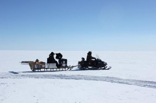
The antennas of the radar are situated at the rear end of the sleigh. They send impulses into the ice, which are reflected by different properties in the ice and return the impulse signals to the antennae. Data can be plotted as a radio-echogram, from which you can read out thickness of the ice, the rock under the ice and different layers of ice in the ice sheet. Radar measurements from flyovers work in much the same way as the sleigh radar. Each radar can be adapted to focus on different properties, such as the shift from ice to bedrock, ice layer, melt layer etc. (Photo Credit: Christian Panton)


