Researchers have developed a global earthquake monitoring system that uses the Global Navigational Satellite System (GNSS) to measure crustal deformation.
The monitoring system within seconds can rapidly assess earthquake magnitude and fault slip distribution for earthquakes of magnitude 7.0 and larger, making it a potentially valuable tool in earthquake and tsunami early warning for these damaging events, Central Washington University geophysicist Timothy Melbourne and colleagues report in the Bulletin of the Seismological Society of America.
GNSS can potentially characterize a large earthquake much more rapidly than the global seismic network, offering more time for evacuations, drop-and-cover and automatic shut-down of essential infrastructure. “The imperative for doing it quickly is really about saving lives,” said Melbourne.
GNSS systems consist of Earth-orbiting satellites that send signals to receiver stations on Earth. The signals are used to determine the receivers’ exact locations through time. Earthquakes move and deform the Earth’s crust underneath the receivers, so changes in their locations after an earthquake can be used to monitor and characterize the ruptures.
Read more at Seismological Society of America
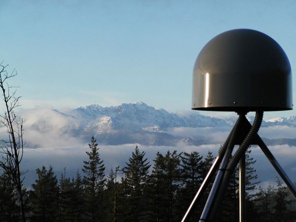
Image: GNSS station in the U.S. Pacific Northwest. (Credit: Pacific Northwest Geodetic Array, Central Washington University)