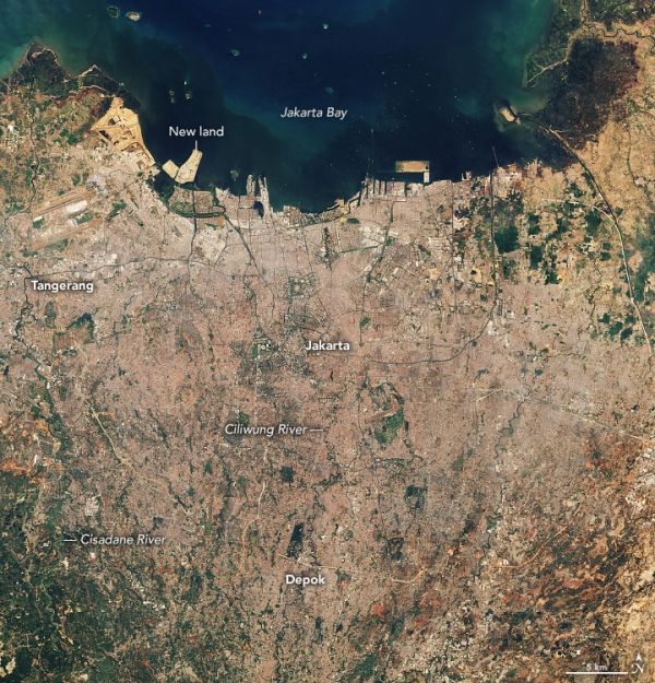
With global temperatures rising and ice sheets melting, plenty of coastal cities face a growing risk of flooding due to sea level rise. Few places, however, face challenges like those in front of the Jakarta metropolitan area, a conglomeration of 32 million people on the Indonesian island of Java.
Since the city’s early days, flooding has been a problem because Jakarta is situated along several low-lying rivers that swell during the monsoon season. In recent decades, the flooding problems have grown even worse, driven partly by widespread pumping of groundwater that has caused the land to sink, or subside, at rapid rates. By some estimates, as much as 40 percent of the city now sits below sea level.
With mean global sea levels rising by 3.3 millimeters per year, and amid signs that rainstorms are getting more intense as the atmosphere heats up, damaging floods have become commonplace. Since 1990, major floods have happened every few years in Jakarta, with tens of thousands of people often displaced. The monsoon in 2007 brought especially damaging floods, with more than 70 percent of the city submerged.
Continue reading at NASA Earth Observatory
Image via NASA Earth Observatory