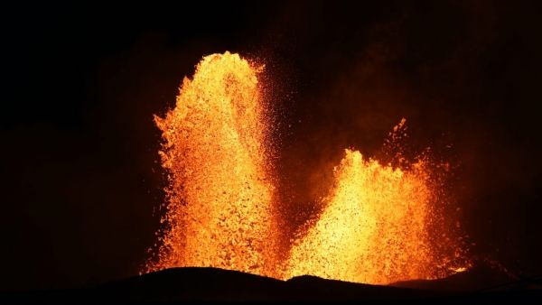
When Kīlauea Volcano erupted in 2018, lava covered parts of the Island of Hawaii, but a volcanic smog, known as “vog,” inundated it. The vog contained dangerous levels of fine particulate matter and sulfur dioxide gas, which threatened the health of the downwind population on the island.
In a new study, a team of scientists used a low-cost air quality sensor network to map the pollution exposure of residents in real time, for the first time. The new solution to measuring air quality could help populations in the future from getting sick, since air pollution is the single largest environmental risk factor for premature mortality worldwide
“We were able to estimate fine-scale population exposures to multiple pollutants, measure the chemical transformation of volcanic emissions, and provide real-time observations as part of emergency management efforts,” said Benjamin Crawford, PhD, lead author and assistant professor in the Department of Geography & Environmental Sciences at University of Colorado Denver. Crawford collaborated with researchers from the Massachusetts Institute of Technology and University of Hawai‘i.
Continue reading at University of Colorado Denver
Image via University of Colorado Denver


