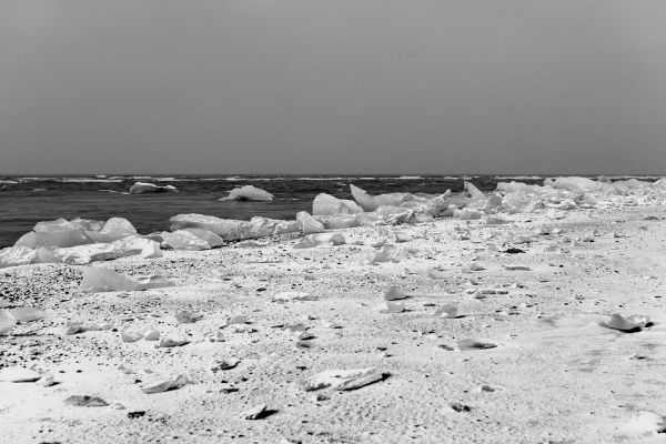
A study led by Ohio University researchers shows that the increase of sea ice surrounding Antarctica since 1979 is a unique feature of Antarctic climate since 1905 — an observation that paints a dramatic first-ever picture for weather and climate implications on the world’s southernmost continent.
Dr. Ryan Fogt’s(opens in a new window) study, published today in Nature Climate Change, is the first to detail sea ice extent surrounding the entire continent though all four seasons over the last century. Weather, especially winds and temperatures, contribute to sea ice changes. Fogt is professor of Geography(opens in a new window) in OHIO’s College of Arts and Sciences.
Previous historical estimates of Antarctic sea ice before satellite measurements began around 1979 were obtained mostly through the lens of a small number of weather stations across the vast continent, human observation along the ice edges, and ice core and ocean sediment samples. However, these estimates all have limitations – most were only observing sea ice conditions in a small area or at a specific time of the year.
But the OHIO study extends the reliable measurements from satellite imagery since 1979 back through the 20th century using historical weather data at places away from the Antarctic continent. At the heart of Fogt’s statistical reconstruction model is the strong connection Antarctic sea ice shares with regional and large-scale climate variability, captured through a network of 30 long-term temperature and pressure observations across the Southern Hemisphere. This new study has nearly tripled the length of observed data about the entire continent, instead of just a specific region, and provides a year-round look, rather than an annual average.
Read more at Ohio University
Photo Credit: LittleVisuals via Pixabay


